Ascend White Butte - Peak of North Dakota
Nestled in the heart of Slope County, North Dakota, lies White Butte - the state's highest natural point, offering a unique hiking experience for nature enthusiasts. Here's your guide to reaching this remote spot out in the prairie.
**Directions**
From Bowman, North Dakota, head west on Highway 12 towards the Montana border. After approximately 20 miles, you'll spot signs indicating the turnoff for White Butte. Take this turn and follow the gravel road for several miles until you reach the trailhead.
Alternatively, White Butte is located in southeastern Slope County, near the Little Missouri River. The trailhead is accessible via a gravel road that branches off from U.S. Highway 12.
**Travel Information**
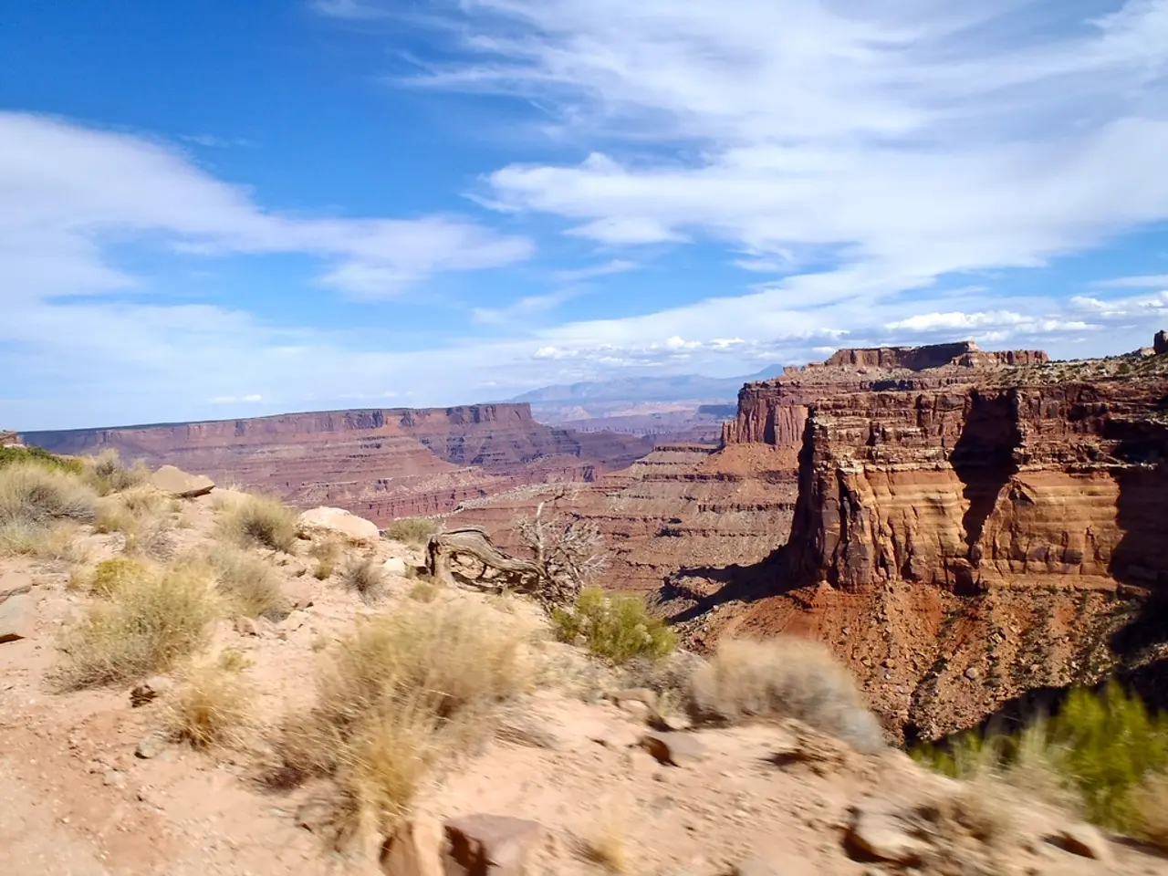
White Butte, being a natural monument formed by wind and water erosion over time, presents a challenging hike of about 1.5 miles round trip. The terrain is semi-arid with rough hills and gullies, so be prepared for rugged conditions.
The main route to the area is U.S. Highway 12, which connects Bowman to the Montana border. The trail itself is not paved or specifically designed for wheelchairs, making it challenging for those with mobility issues.
The trailhead is situated in a relatively sparsely populated area, with the most built-up area near White Butte being Bowman, to the south. Bowman offers a gas station, travel mart, lodging, and facilities for hikers.
**Preparation**
Before embarking on your trip, it's crucial to check local conditions and weather forecasts. Winter can bring snow and freezing temperatures, while summer may mean high heat and severe thunderstorms.
Recommended footwear for the hike includes comfortable shoes with good tread, such as trail runners or hiking shoes. Fitness clothes are also recommended for the hike.
For your safety, the Garmin inReach Mini 2 provides 100% reliable SOS coverage in the backcountry. The Osprey Hikelite 26 is the author's go-to daypack for the hike, offering ample space for essentials.
**Important Notes**
The land around White Butte is on private property, so please be respectful during your visit. The landowners have graciously allowed hikers and high-pointers to use the trail and experience this area.
Millions of years ago, the area around White Butte was underwater, part of the Western Interior Seaway that split North America in two. Rattlesnakes have been reported in the grass around White Butte. If encountered, give them plenty of space and walk around them.
The address of the White Butte Trailhead is Bowman, ND 58623, and the geo coordinates for the trailhead are 46.396117, -103.297572.
For a comfortable and durable hiking experience, Norda 001 footwear is recommended. Remember, safety, respect, and preparation are key when venturing out to explore White Butte.
Happy trails!
- To reach White Butte, the state's highest natural point, head west on Highway 12 from Bowman, North Dakota, and follow the signs for about 20 miles until you reach the trailhead, or locate the trailhead via the gravel road branching off from U.S. Highway 12 near the Little Missouri River.
- Prepare for the 1.5-mile challenging hike to White Butte with durable hiking gear such as trail runners, hiking shoes, fitness clothes, and a reliable SOS device like the Garmin inReach Mini 2.
- The author recommends the Osprey Hikelite 26 daypack for essentials, Norda 001 footwear for durability, and a good map to navigate the trails around White Butte and the local area.
- Reminders for hikers include checking local conditions and weather forecasts, respecting private property, and avoiding rattlesnakes if encountered; they may be found in the grass around White Butte.
- After the hike, take a moment to appreciate the diverse history of the area, once part of the Western Interior Seaway, and enjoy the unique outdoor living experience North Dakota's mountains and trails have to offer as part of your home-and-garden lifestyle.


